
Leica GS11 and iCON iCG11 launch at INTERGEO 2026
At INTERGEO Munich 2026, Leica Geosystems introduced the GS11 GNSS smart antenna and the iCON iCG11 — bringing tilt compensation, imaging survey, and laser-assisted surveys to the field.
FEYMAN designs IMU, GNSS and vision modules engineered for centimeter-grade accuracy in surveying, agriculture, construction & machine control, robotics, and the messy real-world conditions where positioning has to keep working. Our products have been mass-adopted by many iconic brands in each of the aforementioned industries.














At INTERGEO Munich 2026, Leica Geosystems introduced the GS11 GNSS smart antenna and the iCON iCG11 — bringing tilt compensation, imaging survey, and laser-assisted surveys to the field.
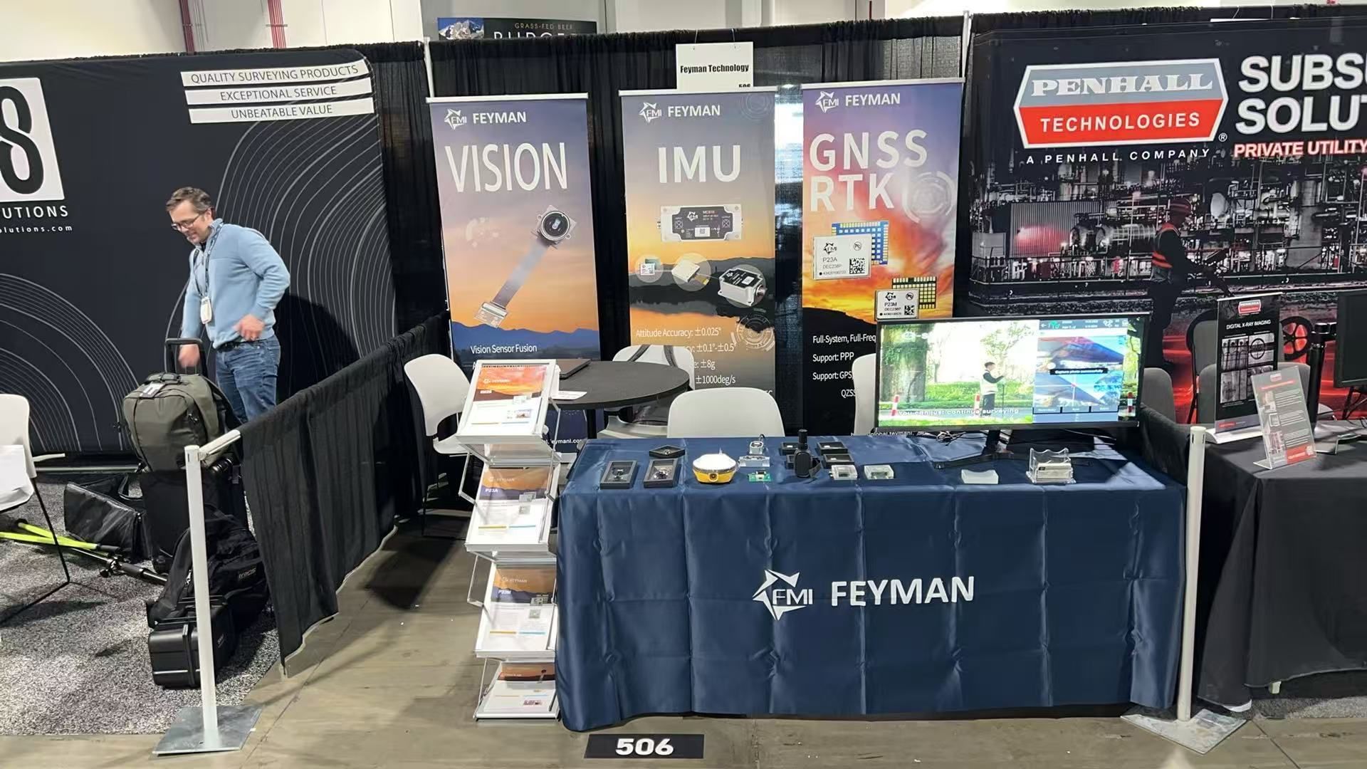
Partners exhibited RTK products powered by FEYMAN modules at GeoWeek 2026.
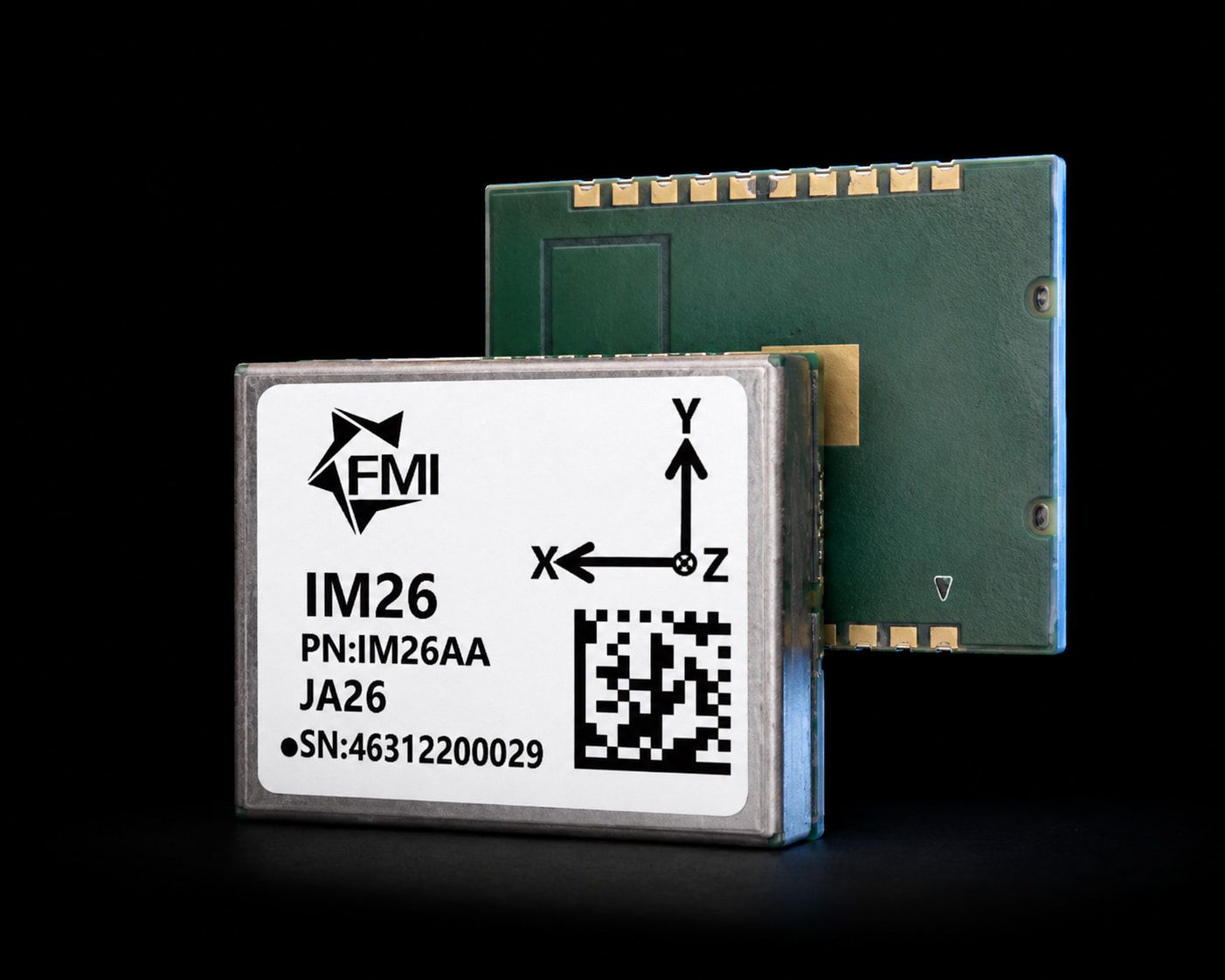
Our newest SMT IMU fuses a MEMS gyro and accelerometer with GNSS RTK to hold roll and pitch within 0.02° (2σ) — built for machine control, robotics, drones, and tilt surveys.
From the IMU at the tip of an RTK pole to the vision engine that reads distant targets, and the sealed AHRS riding on a piece of construction equipment — every FEYMAN module is designed to fuse cleanly with the next, so you build positioning systems instead of integrating headaches. Select a series to see its modules.
Each IM-series generation tightens the dynamic attitude spec that tilt compensation lives or dies by — figures straight from the published datasheets. Our next part is in qualification now.
All datasheets are available on request — tell us what you're building and we'll send the current revision.
FEYMAN is built around six global offices — Berlin, Phoenix, Beijing, Mexico City, Colombo, and Shenzhen — placing engineering and field support on the ground in the regions our partners build in. Wherever your program runs, there's a team nearby who knows the hardware.
FEYMAN modules are deployed by integrators and OEMs across all of North America, all of Europe, South Asia, and Southeast Asia — the regions where precision positioning is scaling fastest.
I think it's much more interesting to live not knowing than to have answers which might be wrong.
Whether you're spec'ing your first RTK rover, adding vision to an existing surveying/precision AG line, or building AI-powered navigation into a fleet of autonomous platforms — we'd like to hear what you're solving.