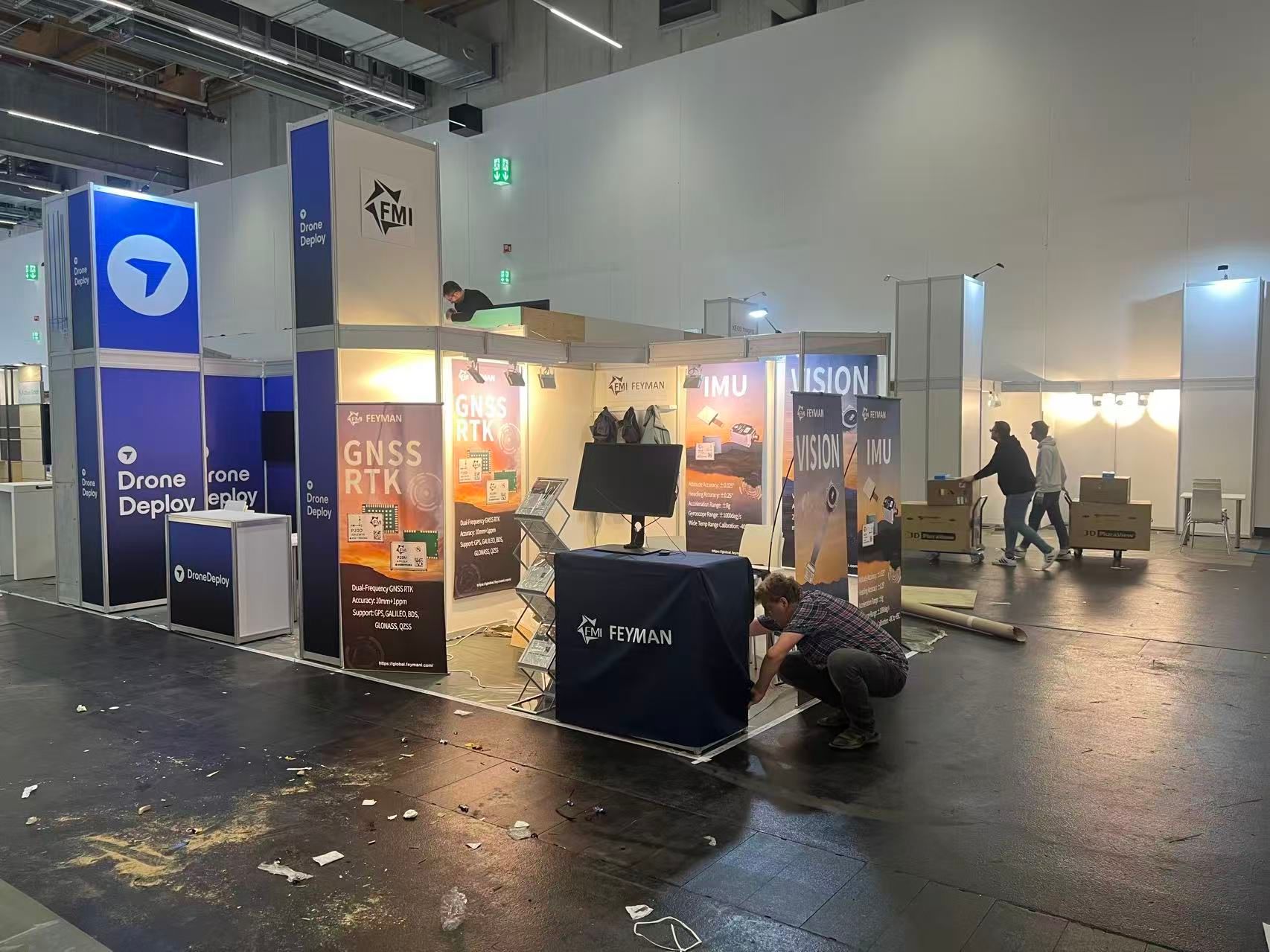
At INTERGEO 2024 and 2025, partners exhibited RTK rovers powered by FEYMAN modules. Our IM-series IMUs continue to set the tilt-compensation reference inside leading RTK rovers.
A track record in the field
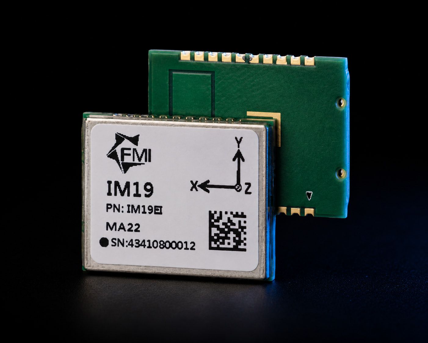
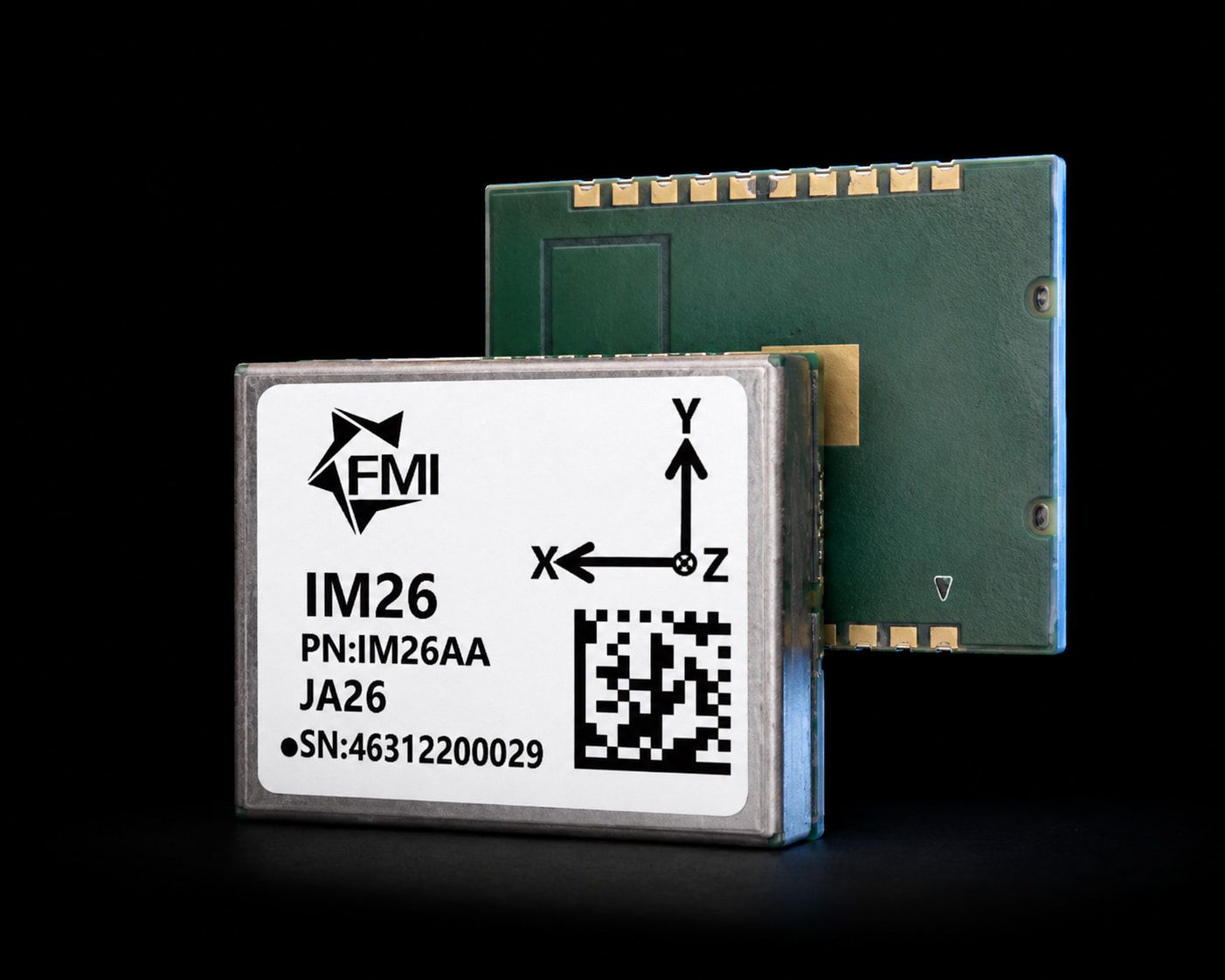
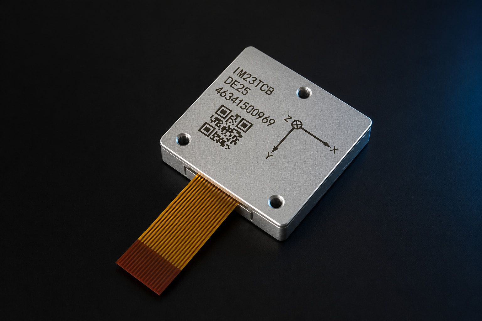
The IM19 effectively set the bar for GNSS tilt compensation: by 2023 more than 100,000 units were in active field service, integrated by over 20 surveying partners worldwide. The newer IM26 and IM23TCB carry that work forward with tighter attitude accuracy — roll and pitch to 0.02° with RTK aiding on the IM26, and 0.01° (2σ) in INS mode on the IM23TCB.
INTERGEO 2025 launch: real-time video-survey measurement
At INTERGEO 2025, FEYMAN launched a real-time computational photogrammetric video-survey measurement feature.
In simple terms, it uses video images and calculations to measure points in real time. It gives equipment makers another way to add image-based measurement to their surveying tools.
Helping a survey pole work while tilted
A survey receiver needs to work out the position of the pole tip. When the pole tilts, the receiver must account for that change.
FEYMAN’s tilt-sensing technology helps the system relate the antenna position to the pole tip. This supports surveying without keeping the pole vertical for every measurement.
Why this matters to manufacturers
The partner products and the new video-survey feature show two sides of FEYMAN’s work: sensing how a device is tilted and using images to measure points.
For equipment makers, this brings tilt sensing and imaging expertise into the same product discussion.
To integrate an IM-series module in your own receiver, get in touch.